Thursday, June 30, 2016

Kephart Prong trail

New miles completed: 2.0
Total miles hiked: 4.0
29 June 2016

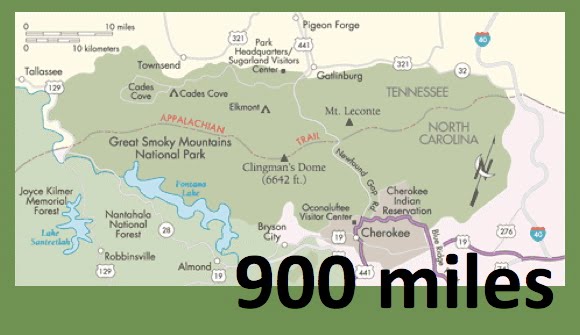
I've reached the point in my quest when I have done nearly all of the trails on the Tennessee side of the park (where I live), so new trails are going to have to be added on the North Carolina side, which means more driving and better planning.  OR, somedays, like this day, we will take a nice drive over the mountains just to do a little 2 mile section of trail...  It was a beautiful summer day spent with good friends exploring a little more of our big back yard.

The Kephart Prong trailhead is on Newfound Gap Road, about 8.8 miles south of Newfound Gap or 5.0 miles north of Smokemont Campground.  The trail is only 2 miles long, and gains about 800 feet in elevation as it follows the Kephart Prong (stream) along an old jeep road turned trail.

Our hiking crew at the trailhead

The trail begins at at large footbridge over the Oconaluftee River right where the Kephart Prong flows into the Oconaluftee.  Pretty much the entire length of the trail is a nice walk through the woods while following the Kephart Prong, banks lined with Rosebay Rhododendron.  This time of year the Rhododendron and Scarlet Bee Balm are in flower - they put on a lovely show!  Also found a nice patch of Pipsissewa in flower.

Rosebay Rhododendron
Pipsissewa, aka Spotted Wintergreen
Scarlet Bee Balm

Kephart Prong
Almost immediately up the trail you start to see signs of prior habitation.  There are many side trails that now lead off into the woods and just peter out...  Some even have old stonework entrances.

Side trail off of the Kephart Prong with stone walls flanking the path.
Shortly thereafter you reach the site of an old CCC camp.  The little brown book and the History Hikes book both give good info about this site.  The CCC did a huge amount of work in the Smokies in the 1930s building trails, bridges and buildings.  This site has some of the most obvious leftovers I've seen in former CCC campsites in the park.

River stone sign board

River stone water fountain

Chimney
From here on up the trail follows a familiar pattern of hugging one side of Kephart Prong for a while, then crossing over to the other side for a while.  Beyond the first bridge at the trailhead, there are four additional footbridges that cross Kephart Prong.

Footbridge #1

Footbridge #2

Footbridge #3

Footbridge #4
At all of the stream crossings you have a choice - you can either take one side trail and ford the creek, or you can take a different side trail and cross the footbridge.  There are even signs to point you in the right direction!

"Foot Log" - sign pointing to the bridge crossing
The trail is very rocky.  It's fairly wide in the first mile (the old jeep road), but then narrows further on.

Ultimately, 2 miles from the trailhead, you reach the end of the Kephart Prong trail where it reaches a junction with both the Sweat Heifer and Grassy Branch trails, and the Kephart backcountry shelter.

Trail junction with Sweat Heifer and Grassy Branch trails.

Kephart backcountry shelter 
We stopped here to snack and drink and play in the water just around the corner from the shelter before heading back down the trail.  It was a beautiful summer day and a very pleasant hike.  Kephart Prong is a very pretty stream, and the creek crossings provide plenty of opportunities to play in the water if you wish!

Hope you all are having a great summer on the trails.
Til next time, happy hiking!