Total Miles Hiked: 14.0
20 January 2014
Started with wet feet, and ended with wet feet… Everything in between was glorious!
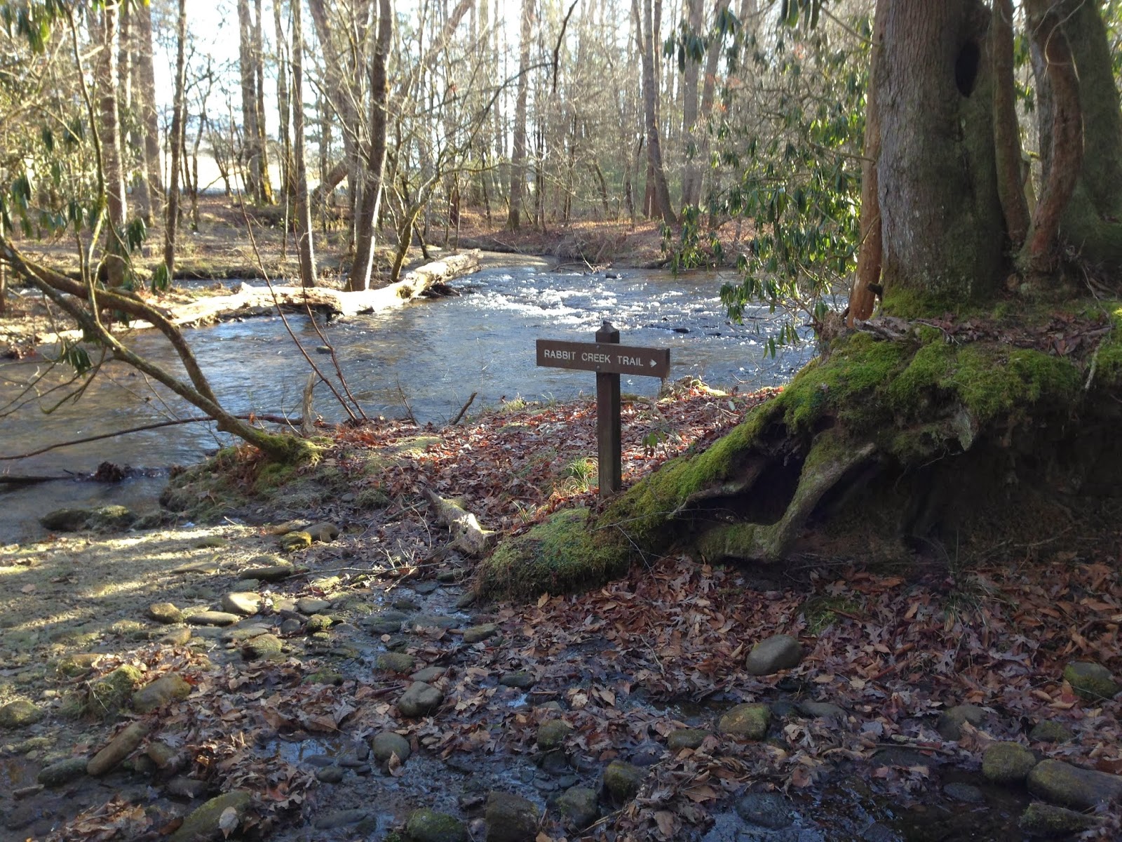
Rabbit Creek trailhead
The Rabbit Creek trail goes between Abrams Creek Ranger Station and Cades Cove. Hannah Mountain trail goes from Parson Branch road up to Abrams Creek. Today I did pieces of each, but didn't finish up either of them.
I started early this morning in Cades Cove where the Rabbit Creek trail shares a trailhead with the Abrams Falls trail. The parking lot was nearly empty when I arrived. One of the fun things about the Rabbit Creek trail is that it starts off going through Mill Creek. Not over or around, but through…
crossing of Mill Creek at the beginning of the Rabbit Creek trail
I knew this ahead of time, and was prepared to take off my boots and wade, but then I spied a fallen tree that spanned most of the creek. With my trekking poles in hand I headed across the fallen tree, hopeful that I'd avoid cold, wet feet. Sadly, the creek got deeper and my trekking poles didn't reach the bottom. The fallen log got slippery, and kerplunk - I ended up knee-deep in Mill Creek. I climbed out with nothing hurt, but it was not an auspicious beginning to the day.
Turns out it really didn't matter. My feet would have gotten wet anyway, as a lot of the Rabbit Creek trail leading up out of Cades Cove is more creek than trail. Rabbit Creek trail climbs quickly out of Cades Cove to a series of ridges, starting with "Coon Butt" :-) The trail traverses gently up and down these ridges for a while before ultimately dropping down, down, down toward Rabbit Creek.
the Rabbit Creek trail on the dry, piney Cades Cove side
As the trail drops down into the Rabbit Creek valley it passes Campsite #15. This is a really nice, open campsite, just up the hill from Rabbit Creek. It looks to have several reasonable tent sites and a nice campfire area. Water is easily accessible from Rabbit Creek.
marker for campsite #15
Campsite #15 - campfire area
Directly downhill from the campsite is Rabbit Creek which must be forded / rock-hopped. By this time my feet were sort of dry-ish after their run-in with Mill Creek and the water laden ascent up the ridges. So I wasn't anxious to get them soaking wet again. There are a series of well-placed rocks across Rabbit Creek at the ford so one can MOSTLY get across dry.
ford at Rabbit Creek
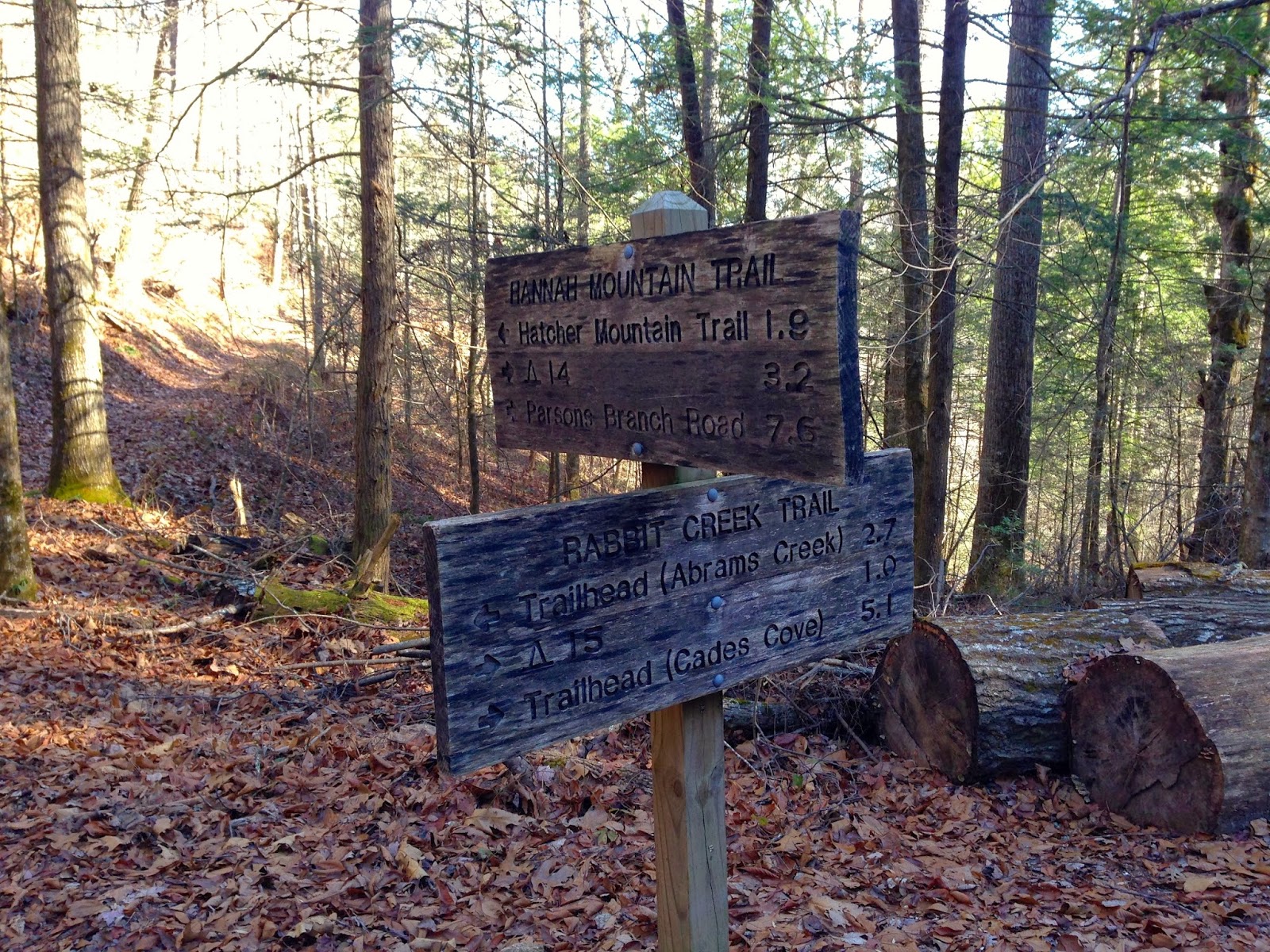
From here the trail ascends again for about a mile up to Scott Gap where the Rabbit Creek and Hannah Mountain trail intersect. The Rabbit Creek trail continues on from Scott Gap toward Abrams Creek ranger station, but I turned north on the Hannah Mountain trail towards Abrams Creek. It's about 1.9 miles from Scott Gap to the junction with Abrams Creek.
Rabbit Creek - Hannah Mountain trail junction
Also a few hundred yards below Scott Gap is Campsite #16. I walked down to the campsite, but I didn't see a whole lot to recommend. It seems to be on a fairly sloped area and I did not see an obvious water source.
marker for campsite #16
campsite #16
Hannah Mountain trail from Scott Gap north is a pleasant walk through tulip poplar, hemlock and rhododendron. There are a LOT of downed trees along this section, presumably from the tornado that blew through the area in 2011. The trail descends gently for the first mile or so, and then begins to really drop on its way down to Abrams Creek.
pretty little waterfall along the Hannah Mountain trail
the final descent to Abrams Creek
I remember seeing this spot from the other side of Abrams Creek about four years ago. We had camped at Campsite #17 and then hiked up to Abrams Falls, and I remember stopping at the spot where the southernmost section of the Hatcher Mountain trail meets Abrams Creek. It was cool to see it from the other side of the creek today.
looking across Abrams Creek to Hatcher Mountain trail
I stopped here to soak in some sun, eat lunch and dry out my socks a little. As I sat I *briefly* contemplated attempting to ford Abrams Creek so I could take the Abrams Falls trail back to Cades Cove. It would have cut off about 3 miles of walking and would have made a nice loop, but the water was cold and deep in places, and I was alone. Plus that was NOT the itinerary I had left behind, so if I got into trouble nobody would know where to look for me. Someday I want to come back and make this ford, but probably in August or September, and certainly not alone.
From here I turned around and retraced my steps. When I finally arrived back at the trailhead I didn't try the downed tree again. I simply plunged straight through the creek at the ford. The water was COLD, but it was quick.
All in all it was an amazing day to be out in the Smokies. The sky was blue, the temperature was cool, but sunny, and I really enjoyed hanging out on the banks of Abrams Creek. Can't believe this is the first time I've checked off any new miles in the park since last June! Still, I'm making slow and steady progress on completing all the trails in the park. Looking forward to getting out there again.
Til next time, happy hiking!


