
Total Miles Hiked: 38.9
22-25 July 2020
I had the opportunity to join a couple of new friends for a backpacking trip down into the NC side of the park and do some of the more remote trails this week. I met Steve through the Foothills Striders club, and he invited me to join he and his friend Andy on this trip. They have been working on completing all of the trails in the park too, and are nearly done.
Our route took us from the Clingmans Dome parking lot out the AT to Silers Bald shelter, then down Welch Ridge, with a side hike up to High Rocks. Then Cold Spring Gap down to Hazel Creek. Side trip up Bone Valley trail, and then back up Hazel Creek to Welch Ridge and the AT and back to Clingmans Dome.

 |
| Me, Andy (center), and Steve (right) at the trailhead at Clingmans Dome parking lot |
 |
| Steve at the junction of the Clingmans Dome Bypass trail with the AT |
 |
| Views from the AT |
Along the way you pass the trailhead for the Goshen Prong trail which dives down on the TN side of the ridge down toward Elkmont.
 |
| AT - Goshen Prong trail junction |
You also pass by the Double Springs shelter. We stopped in here for a brief rest. The field outside the shelter was all grown up in Crimson Bee-Balm and Coneflowers.
 |
| Double Springs Shelter |
 |
| Crimson Bee-Balm |
 |
| Steve and Andy on the AT |
 |
| Silers Bald Shelter |
 |
| Summer wildflowers |
 |
| Bee-Balm: red, white and purple! |
 |
| AT - Welch Ridge trail junction |
 |
| Welch Ridge - Hazel Creek trail junction |
 |
| Welch Ridge trail |
 |
| Summer wildflowers |
 |
| Summer wildflowers |
 |
| Welch Ridge - Jonas Creek trail junction |
 |
| Welch Ridge trail |
 |
| Welch Ridge trail |
 |
| Welch Ridge - Bear Creek trail junction |
About 6.6 miles down from the AT there is the side trail to High Rocks, the site of a former fire tower. The trail up to High Rocks is only 0.3 miles long, but it's pretty steep and strenuous. We hiked up and stopped for lunch at the top. The views were fantastic, and there was even an old metal chair sitting on top of the rocks. The old fire warden's cabin is still there, but in bad shape, with most of the front of the cabin having fallen in/off.
 |
| Welch Ridge - High Rocks trail junction |
 |
| Abandoned fire warden's cabin on High Rocks |
 |
| View of Fontana Lake from High Rocks |
 |
| High Rocks - site of a former fire tower |
After lunch we headed back down to Welch Ridge and then on to Cold Spring Gap trail.
 |
| Andy & Steve at the Welch Ridge - Cold Spring Gap trail junction |
Cold Spring Gap trail descends steeply 2000' over 3.5 miles from Welch Ridge trail to Hazel Creek trail. On the map it looks as though the trail follows the creek most of the way down. In reality, the trail and the creek are one for much of the way down... Cold Spring Gap trail is high on my list of crappy trails that I hope never to hike again. The trail winds from bank to bank of the creek, often following the creek itself from hundred of yards at a time. Sometimes it's not obvious where the trail picks up again on the bank. The creek is full of bowling ball-sized rocks covered in moss and slippery as heck. On top of all that, it started to rain on us part way down which just made the whole experience even worse.
 |
| An old horseshoe hanging upside down from a tree on Cold Spring Gap trail - an omen perhaps? |
At the junction with Hazel Creek trail we turned left (south) toward backcountry campsite #83 - our destination for the night. In contrast to Cold Spring Gap trail, this section of Hazel Creek trail is a road - wide and graveled and easy walking.
 |
| Backcountry campsite #83 (Bone Valley) |
 |
| Backcountry campiste #83 |
 |
| Bone Valley creek |
Campsite #83 is a horse & hiker camp and sits right on Bone Valley Creek which shortly runs in to Hazel Creek. There is a front section near the trail junction and where the bear cables are, and then several sites along the creek to the back. Nice big and open campsite.
We took the opportunity to do a little packs-off hiking while we were there. First we hiked up the Bone Valley trail (an old narrow-gauge railroad bed), 3.6 miles round trip to see the Hall Cabin and cemetery. There are several fords of the creek on this trail, and the deer flies were merciless, but it's a pretty area with lots of neat history, a cool cabin and a large cemetery.
 |
| Bone Valley - Hazel Creek trail junction |
 |
| Hall Cabin in Bone Valley |
 |
| Grave marker in the Bone Valley cemetery |
 |
| One of several fords on Bone Valley trail |
After coming back down from Bone Valley we turned south on Hazel Creek trail for 0.8 miles to the Jenkins Ridge trail junction and backcountry campsite #84. This section of Hazel Creek trail is still an old road bed and easy to walk. Campsite #84 looks like a nice open site with room for a few tents and right on the creek.
 |
| Backcountry campsite #84 at the Hazel Creek - Jenkins Ridge trail junction |
 |
| Backcountry campsite #84 |
 |
| Hazel Creek - Jenkins Ridge trail junction |
After hiking back up to campsite #83 we packed up and headed north on Hazel Creek trail, retracing our steps from the day before up to the junction with Cold Spring Gap trail and then new miles as we headed north / up.
 |
| Hazel Creek trail |
 |
| Hazel Creek - Cold Spring Gap trail junction |
 |
| NPS bunkhouse near the Hazel Creek - Cold Spring Gap trail junction |
This section of the park was heavily settled prior to the formation of the National Park, so there are lots of old homesites, rock walls, foundations, chimneys, etc. along the Hazel Creek trail. There are LOTS of side trails that lead UP to small cemeteries. The settles always put their cemeteries on very high ground, so you have to really want to see them to take the time and effort to visit. While Steve & Andy were taking a break I dropped my pack and followed on such trail up the ridge above the Calhoun family's lands to find a single grave for an infant daughter. Such a sad, but common thing to lose a child in those times, but such a beautiful resting place.
 |
| "Infant daughter of Josh and Susie Calhoun" |
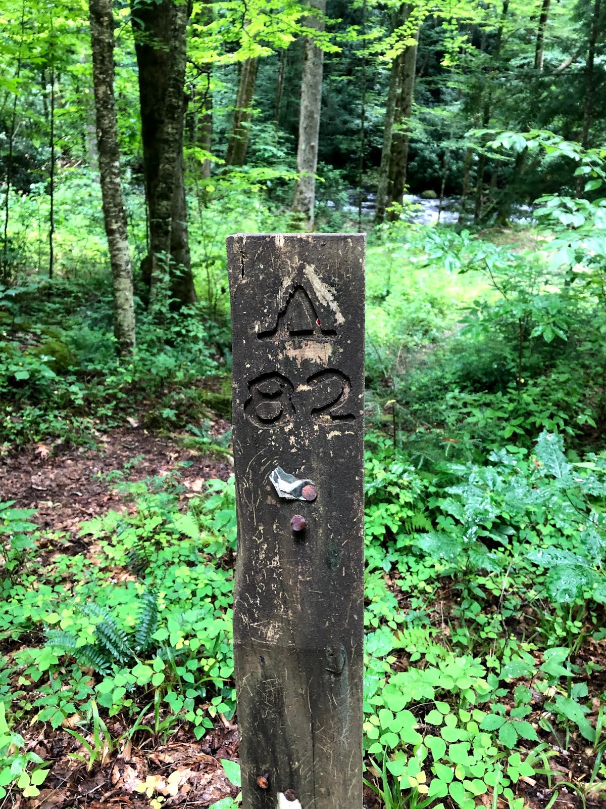 |
| Backcountry campsite #82 (Calhoun) |
 |
| Picnic tables... |
 |
| Ford of Walker Creek on Hazel Creek trail |
 |
| Horse corral on Hazel Creek trail near Proctor Creek |
Over the bridge on Proctor Creek the nature of Hazel Creek trail changes completely. Where the lower section is a wide even road, the upper section is narrow, winding, overgrown and crosses the creek about a bazillion times with no bridges. The next 2-ish miles rise steadily as the trail follows and crosses through the creek through a beautiful, but wild forest. About a mile from the end of the trail you reach the Hazel Creek Cascades - a series of several beautiful waterfalls. Shortly thereafter the trail crosses the creek and turns uphill to the top of Welch Ridge. Gaining about 750' in elevation over the last mile the trail switchbacks several times and the incline is relentless. FINALLY we topped out and were back at the Welch Ridge trail where we turned left (north) back toward the AT.
 |
| Hazel Creek trail sign at the Proctor Creek crossing |
 |
| Andy crosses Proctor Creek |
 |
| Pretty little waterfall seen from mid-ford |
 |
| One of MANY creek crossings... |
 |
| First of the Hazel Creek Cascades |
 |
| Last of the Hazel Creek Cascades |
 |
| Upper stretch of Hazel Creek trail |
 |
| Back to the Welch Ridge - Hazel Creek trail junction where we had been 2 days prior |
 |
| Always amazing views from the AT |
From the Hazel Creek - Welch Ridge trail junction we re-traced our steps back up Welch Ridge and on the AT back to Clingmans Dome parking lot. After a long day of hiking uphill, and getting caught in an afternoon downpour, we were tired and wet when we finally arrived back at the car.
But in many ways it was really a fabulous trip - challenging for sure, but the Hazel Creek section of the park is just absolutely gorgeous. I will definitely re-visit the are to explore when I have more time to spend.
One last thought. As we were coming up Welch Ridge on our last day we passed a group of 4 horses coming down the trail. They were friendly and we passed each other with no problems. But as we ascended Welch Ridge I was dumbfounded and angered by the damage the horses had done to the trail. Huge divots in the trail left by horse hoofs. Narrow sections of the trail where the edge had been pushed off by horse hoofs. It had rained for at least the two days prior to us meeting the horses, so the trail was already muddy, but they absolutely tore it up. There are trails (like the lower section of Hazel Creek) where horses probably do NO damage to the trail. But narrow fragile trails like Welch Ridge are just not suitable.
Hope to get some more hikes in this fall when things cool off.
Til next time, happy hiking!

