Sunday, December 27, 2015

Birthday Hike: Little River and Rough Creek trails

New miles completed: 2.8
Total miles hiked: 14.8
26 December 2015

Let me get this out of the way: Rough Creek is a trail that I am glad that I did, and that I am glad that I will probably never do again...

I had previously hiked both the Little River trail and the Sugarland Mountain trail.  The Rough Creek trail is a connector between these two.  To get there, I started in Elkmont and took the Little River trail up about 4.6 miles to its junction with the lower end of the Rough Creek trail.

Little River trailhead in Elkmont
It has rained a LOT the last week or so, and the water was very high in the Little River, and in all of the creeks running in to it.  New waterfalls appeared in places they did not normally exist.

LOTS of water!
The stroll up Little River is easy and pleasant.  It's an old road / railroad grade so the path is wide and flat and mostly graveled.  It follows the bank of the Little River which was fun to watch and listen to with the exceptionally high water levels.  Along the way the trail passes intersections with the Cucumber Gap trail, the Huskey Gap trail, and the Goshen Prong trail.  The first water crossing was just below backcountry campsite #24 - I managed to rock-hop that one without incident.  The next crossing was at the entrance to campsite #24.  Normally just a step or two across a narrow channel, this had become a bit more of a challenge.

Crossing to Campsite #24
I found a downed tree that crossed the channel just downstream from the normal crossing spot and managed to get across without falling off, and continued my way up the trail to the junction with the lower end of the Rough Creek trail.

Little River trail - Rough Creek trail junction
Rough Creek trail is only 2.8 miles long.  The lower end is on the Little River trail, and the upper end is on the Sugarland Mountain trail.  You gain about 1500 feet of elevation along the way.  The first couple of miles of the trail follow Rough Creek on an east-west course through a very pleasant valley.  There are several unbridged crossings of the creek.  Under normal water flow these would likely all be easy rock-hops.  With the high water level of this week they were all knee-deep fords.

Ford across Rough Creek
Rough Creek is very pretty - a typical mountain stream for the Smokies with lots of little waterfalls, riffles and rocks.  One of the good things about winter hikes is that you can see much farther because all of the leaves are gone.  This made for some nice views of the cascading creek from the trail above.

Rough Creek is a beautiful little mountain stream.
The first two-thirds of the Rough Creek trail are nice - good trail, pleasant views, pretty creek.  The last mile, once you've crossed Rough Creek for the last time and are starting to climb up and around the ridge that leads to the Sugarland Mountain trail, is hellish...

The trail gets much steeper, much narrower, and becomes very rooty & rocky.  On top of that, it doesn't seem to be the object of much trail maintenance - there were a LOT of blow-downs across the trail making it more time-consuming and difficult to get through.

Upper section of Rough Creek trail is pretty rough...

Lots of downed trees on the upper section of Rough Creek trail

There are some nice views along this section, and once you get to the junction with Sugarlands Mountain trail you get a great view of Chimney Tops!

Rough Creek trail - Sugarland Mountain trail junction

View of Chimney Tops from Sugarland Mountain trail
I stopped here and rested and snacked for about 15 minutes before heading back down.  The way back down was easier because of the elevation loss, but the numerous blow-downs still made it take a lot longer than it should have.  There were some cool maroon shelf fungi growing on the sides of some of the trees along here too.

Shelf fungus
Because of the wet weather, a lot of the Rough Creek trail looked more like a stream than a trail.

The trail/creek
I made it back down to Elkmont in good time.  On my way up in the morning, the only other hiker I saw was a Park Ranger, but on my way back down to the car I passed dozens of folks out for a Saturday, after-Christmas stroll.  It was a beautiful day of sun after several days of rain, and crazy warm for December with temperatures in the 70s!

It was a good way to spend my birthday, and nice to get one more trail checked off.  Looking forward to some actual winter hiking early in the new year.

Til next time, happy hiking!

Sunday, November 8, 2015

Cooper Road, Hatcher Mountain, Little Bottoms Loop

New miles completed:  2.6
Total miles hiked:  11.5
8 November 2015

Sunny and 60 degrees in early November?  What else is there to do but go for a hike!  I have had a few trails down in the Cades Cove / Abrams Creek area of the park that I need to finish off, so today I knocked the Hatcher Mountain trail (all 2.6 miles of it!) off the list.

This loop starts out at the Abrams Creek Ranger Station which is where hiker parking is.  It's about 0.5 mile walk in through the campground to get to the trailhead from the parking area.

 Trailhead at Abrams Creek Campground

Cooper Road starts out going northeast out of the campground up to Cane Gap and then takes a sharp right to head southeast into Cades Cove.  It is indeed an old road, so it is generally wide and smooth.  From the campground it rises for a total of about 800' elevation gain by the time you reach the junction with Beard Cane & Hatcher Mountain trails.  But it's rarely steep, so it's not a bad hike at all.

Cooper Road trail - wide and smooth

Shortly (~ 1 mile) up the Cooper Road trail you pass the Little Bottoms trail junction and backcountry campsite #1.  This is a nice, big, open campsite and a great intro site for beginner backpackers.  1.7 miles further up the trail you run into the junction with the Gold Mine trail, and then just 0.4 miles beyond that you reach Cane Gap and the junction with Cane Creek trail.

 Gold Mine Trail junction
 
 Cane Gap - Cane Creek trail junction

1.8 miles further on you come to the junctions with Beard Cane trail (which leads off to the northeast toward campsite 3 and ultimately Ace Gap trail), and Hatcher Mountain trail (leading southwest toward Little Bottoms trail).  I still need to do the section of Beard Cane between campsite 3 and Cooper Road, but I guess that will have to wait for another day.

Hatcher Mountain trail is just 2.6 miles long.  It connects Cooper Road trail with Little Bottoms trail, and begins near the top of a ridge and then comes back down the other side toward Abrams Creek.

 Cooper Road - Beard Cane - Hatcher Mountain trail junctions

This whole area is fairly dry and rocky, with a sandstone base and a tree canopy consisting primarily of oak, hickory and pine.  Hatcher Mountain trail pretty quickly leads up and over a ridge that is covered with the skeletons of dead pine trees.  I'm not sure if it was the pine beetle that got them, or the tornado that ripped through this area a few years ago, but there are a LOT of standing dead trees.

 Dead pine trees on Hatcher Mountain trail

View of Chilhowee Mountain (you can see the Look Rock tower on the ridge to the right of the gap)

As Hatcher Mountain trail descends from the ridge you get into a rhythm of following the trail out along the edge of the ridge, and then diving back in to a draw between ridges, and then back out to a ridge.  Ultimately you come out on the side of the ridge overlooking Abrams Creek and begin to descend on an open, sunny, and rocky trail and then meet up with the Little Bottoms trail.

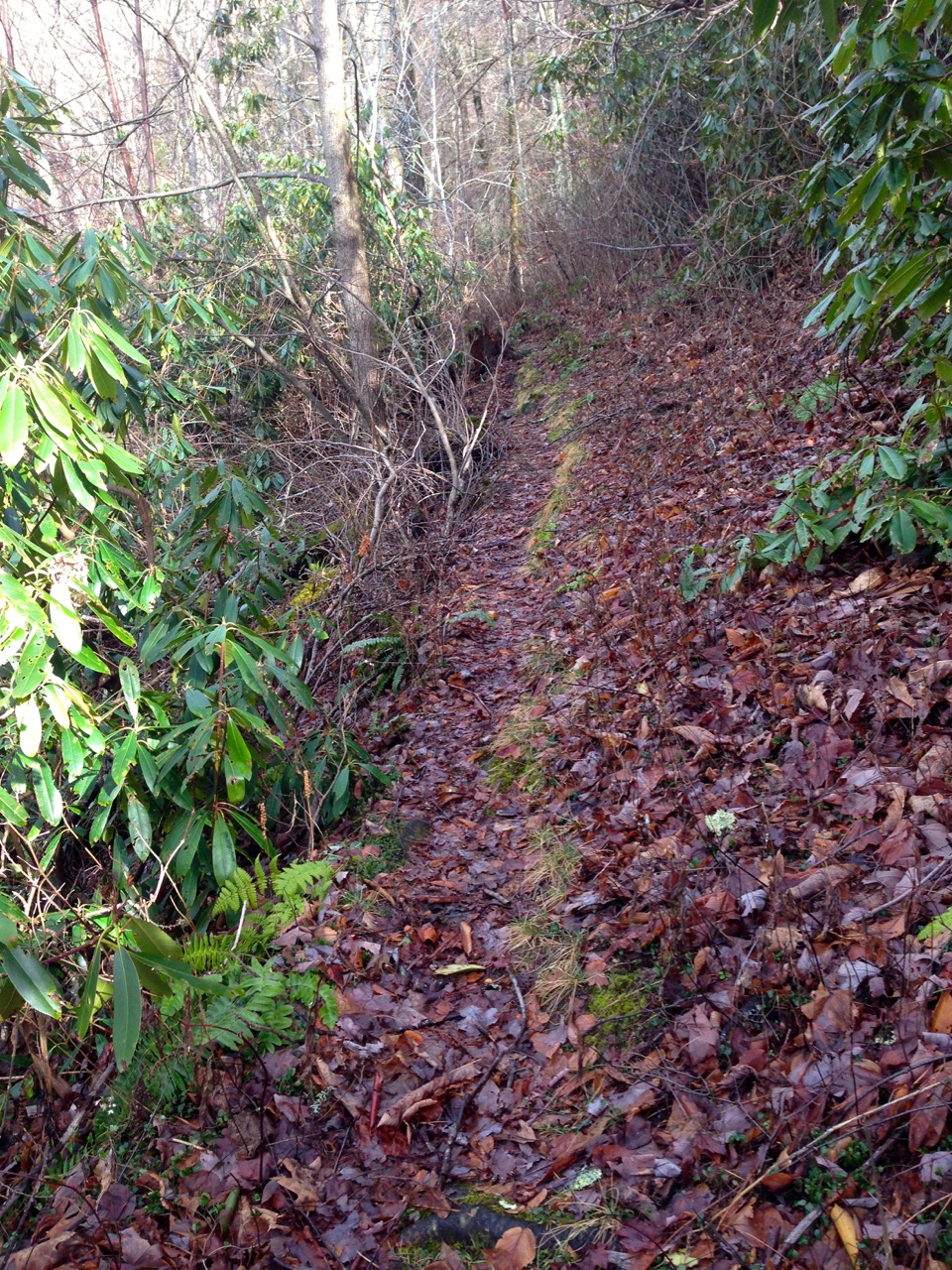
 Eastern end of Little Bottoms trail - dry, rocky, and exposed.

Little Bottoms trail (2.3 miles) leads back northwest toward the beginning of the Cooper Road trail and Abrams Creek campground.  The eastern end is on the ridge above the creek and is dry and exposed, but the western end drops down to the creek near campsite 17 and follows Abrams Creek for a ways.  Ultimately the creek goes left to find its way through the ridge, while the trail goes up and over the ridge.  This section is not long, but is a bit steep, especially near to the top.  It then drops quickly back down the other side to meet up with Cooper Road trail.

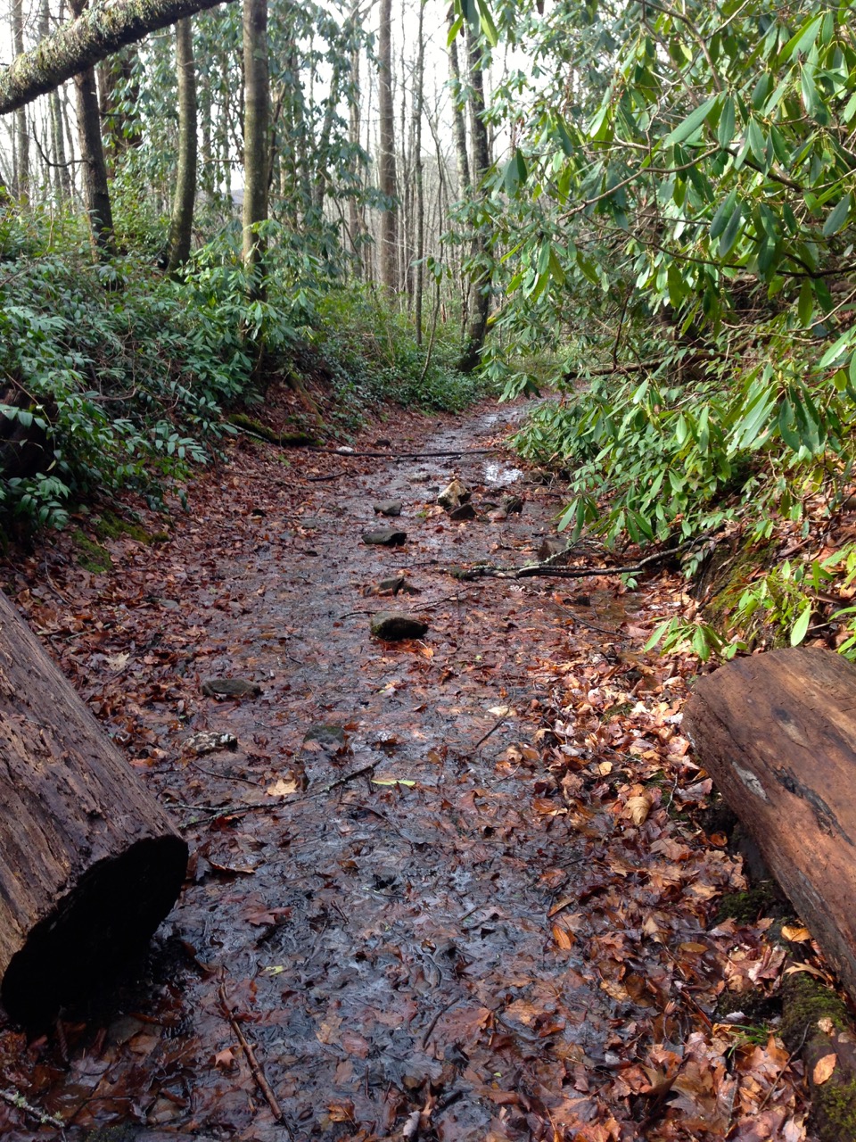
 Little Bottoms - Cooper Road trail junction

From here it's just 0.9 miles back down Cooper Road trail to the campground, and then 0.5 miles along the road back to the car.  It was a bit after 4 pm by now, and the sun was starting to get a little low in the sky.  I love the way the light filters through the trees at this time of day.

Sunlight through the trees

Despite the fact that it was a warm, sunny afternoon in November I only saw two other families on the hike.  It was a good day for solitude and to push my pace.  I always love hikes along creeks, and the section of Abrams Creek along the Little Bottoms trail is beautiful.

This area of the park will always make me think of my boys.  Our oldest's first backpacking trip was to campsite 17 on Little Bottoms trail, and our youngest's first backpacking trip was to campsite 1 on Cooper Road trail.  We've also camped at the campground on a few occasions.  It's less than 30 minutes from our house to the trailhead here, so it's a great place for a quick getaway.

Hope to get some more hiking in soon.  Been doing a lot of hiking & backpacking this year, just not much of it in the Smokies, so I'm not making much progress on my 900 miles.  But that's ok - it'll still be there when I get a chance.

Til next time, happy hiking!


Tuesday, January 20, 2015

Rabbit Creek trail, western end

New miles completed: 2.7
Total miles hiked: 5.4
19 January 2015

Almost a year ago exactly I hiked the eastern part of Rabbit Creek trail from Cades Cove over to Scott Gap and the Hannah Mountain trail.  Martin Luther King Jr. day this year proved to be outstanding hiking weather again, so I got out on the trail with my wife and youngest son to finish off the Rabbit Creek trail from Abrams Creek Ranger Station over to Scott Gap.  It's a short chunk - just 2.7 miles, but it gains about a 1000' in elevation from Abrams Creek up to the top of Pine Mountain, before descending another 400' down to Scott Gap and the Hannah Mountain trail.


Rabbit Creek trailhead @ Abrams Creek
 The weather was perfect for a hike, and the Rabbit Creek trailhead is just 40 minutes from our front door, so everything worked out really well.  We packed up some snacks and water and hit the road.  The trailhead is directly across from the Abrams Creek Ranger Station, and the trail wanders through some wet woods on one side of Abrams Creek, crosses over a long footbridge to the other side and then wanders through some wet woods on the other side of Abrams Creek.


Log bridge over Abrams Creek
In the flat areas above the creek on the other side of the bridge is evidence of some old home sites.  There are remainders of old chimneys and yucca plants that clearly mark habitations of old.  Shortly though, the trail begins to gain elevation as it slowly but steadily makes its way up toward Pine Mountain.  This area is relatively dry and very piney - lots of pine trees and mountain laurels, and the trail consists of weathered sandstone covered in oak leaves and pine needles.  

Wide, soft trail through the piney woods
There were signs of wildlife along the way include bark scraped away from a tree (presumably by a bear?), and woodpecker holes in old stumps.


Bear scraping
Woodpecker holes
The trail reaches the crest of Pine Mountain about 2 1/4 miles in, before descending down into Scott Gap.  The section along here is very exposed - lots of dead & downed pine trees.  Maybe due to Pine Beetle outbreaks, or storms, or both?  But also lots of good views over toward Chilhowee Mountain.  You can even get some pretty good views of the Look Rock observation tower.


Views toward Chilhowee Mountain from below the summit of Pine Mountain
The trail from the crest of Pine Mountain then drops down about 400' in elevation to Scott Gap and the junction with the Hannah Mountain trail.


coming down into Scott Gap
trail sign marking the Rabbit Creek & Hannah Mountain trail junction
Backcountry campsite #16 is just a 100 yards or so down a side trail from Scott Gap.  Apparently there used to be a backcountry shelter here, but it was taken out many years ago by the Park Service.  The campite is in nice open woods, and has the usual fire ring and bear cable system.  There are not a lot of flat spots to put a tent though.


Campsite #16 marker
Campsite#16 fire ring & sitting area
We stopped and had lunch in the campsite and just hung out enjoying the beautiful weather for a while before heading back up.  The 2.7 miles back to the trailhead went much quicker than the 2.7 miles in.  But it was mostly downhill, and not as many stops for pictures.

All in all, I was pleasantly surprised by this hike.  There are no big payoffs on this trail like waterfalls or spectacular rock formations, but the views were wonderful (good hike for the winter) and the trail is pleasant and well-maintained.  And it was close and quick, and sometimes that's all you need.

Looking forward to some more winter hikes and backpacking trips, and then spring is not too far around the corner.  Hope you all are enjoying every opportunity to explore our big backyard.

Til next time, happy hiking!