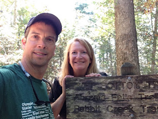
Total miles hiked: ??? around 4 I think...
15 October 2016
The Wet Bottom trail has been a missing link on my trail map for quite a while. I tried to do this trail a couple of winters ago, but it had rained a LOT and the trail was under water. Well, it's been a long dry summer and early fall, so I figured this was a great time to knock this trail out (finally!). Good grief... Happy to have it done, and don't expect I'll ever feel the need to do it again.
Wet Bottom trail runs between the Abrams Falls parking lot and the Cooper Road trail in Cades Cove. It's only a mile long, but it is TERRIBLY marked in between the Elijah Oliver Cabin and Abrams Falls parking lot, and there are LOT of side trails that look like the real thing that lead off to nowhere. So here's what happened today.
 |
| Wet Bottom trailhead on the Cooper Road trail |
 |
| Trail sign #1 on Elijah Oliver Cabin road |
 |
| Trail sign #2 on Elijah Oliver Cabin road |
 |
| Wet Bottom trailhead at Abrams Falls parking area |
 |
| Sarah along the Wet Bottom trail |
 |
| Abrams Creek |
 |
| The clear trail (that turned out NOT to be the real trail) |
 |
| Beautiful views of the end of Cades Cove from the edge of the woods. |
A bit dismayed, we decided to hike the road back to the Elijah Oliver Cabin and try the Wet Bottom trail from the north end where at least it was clearly marked. So we started back where we had already been: at the Wet Bottom trail junction with the Elijah Oliver Cabin road.
 |
| Back to where we started... |
We headed south from here and the trail was pretty easy to follow. A couple of times there were side trails, but the main trail was fairly easy to identify. Eventually we reached the northern bank of Abrams Creek, and looked across the creek to the the trail we had been on before on the southern bank, across a relatively shallow ford.
 |
| Ford across Abrams Creek where the Wet Bottom trail crosses. |
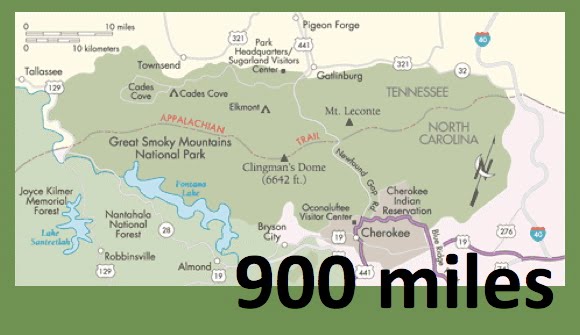
So the take-home message is this: if you decide to hike the Wet Bottom trail (not sure WHY you would do this unless you are trying to join the 900-miler club), you should definitely start at the northern end and head south. Much easier to figure out where you are. Starting at the southern end is a recipe for for wandering off the real trail and ending up coming out of the woods at the road.
Despite the frustration it was a nice day in the woods. Fall is definitely in the air, although summer is holding on pretty tightly. Another couple of weeks and we should have some real fall weather. Sarah and I have nearly completed the Smokies Centennial Challenge Hike 100! Planning to do Alum Bluff Cave trail up to Mt. LeConte soon to wrap up the 100 miles.
Til next time, happy hiking!


