
Total Miles Hiked: 4.8
30 May 2013
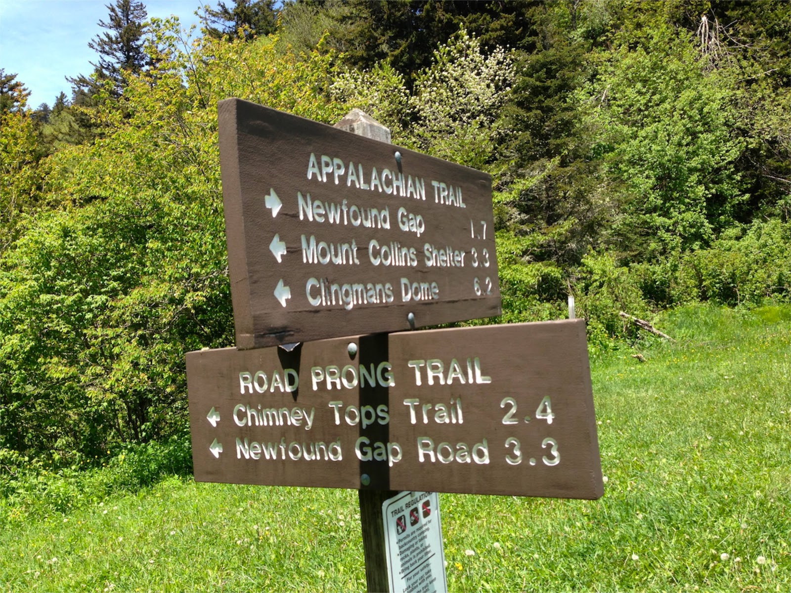
The Road Prong trail is part of an old over-mountain road used by the Cherokee and early settlers to get back and forth between the NC and TN sides of the mountains. In its current form it connects Clingmans Dome road with the Chimney Tops trail. It drops about 1500 feet in elevation over its 2.4 miles, and follows the Road Prong creek the whole way.

trailhead at Indian Gap
William Britten has a nice blurb and some photos of Indian Gap here. From the parking area the trail immediately begins to descend through the Spruce-Fir forest. The trail is VERY rocky, and the footing can be treacherous if you're not careful. The descent is often steep, and combined with the rocks it made for some slow going downhill.
While it's summer down in the valleys, the wildflowers at this elevation still think it's spring. A number of wildflowers were out in full bloom, and in particular the bluets were EVERYWHERE along the creek.

Bluets

Bluebead Lily

Umbrella Leaf
Speaking of the creek, the trail follows the Road Prong creek and there is a section in the middle where the creek becomes the trail... There are numerous creek crossings where you're rock-hopping (or wading). It was really quite beautiful and a lot of fun! But the water wasn't high and the rocks are numerous so the crossings weren't a problem.

one of the MANY creek crossings via rock-hopping
Below the section of creek crossings the terrain gets steeper, and there are a bunch of absolutely gorgeous waterfalls. I would highly recommend a visit to this trail just to see the waterfalls! Most of them require some off-trail work and rock scrambling to get to, but they're well worth it.


After this section the Road Prong creek veers off to the right (east) while the trail continues down (north) to meet up with the Chimney Tops trail.

Road Prong trail - Chimney Tops trail junction
We had actually intended to hike up to the Chimney Tops, but it took us a lot longer to get down than I expected, so we had to turn around here. Because of the steepness and rockiness of the trail it took us nearly 2 hours to make the 2.4 mile descent. Granted, this included a lot of side trips to see waterfalls or climb on the trail-side rocks, but it's not a quick descent any way you do it.
The return trip was quicker (about 1.5 hours) and while very steep, it was actually probably easier going up than down. Along the way back up we encountered some critters including a beautiful little garter snake and a bright red crawdad.


The garter snake we probably wouldn't have even noticed if Duncan hadn't nearly sat on him, but the crawdad was hard to miss! And he was mad that we were paying any attention to him at all.
There's lots to recommend about this trail: good history (there's a marker at Indian Gap with historical notes), nice wildflowers, a challenging but beautiful trail, fun creek crossings/rock hopping, lots of nice waterfalls. It's steepness & rockiness shouldn't be underestimated - it's not an easy trail. But it's definitely worth the effort.
Til next time, happy hiking!


No comments:
Post a Comment