
Total miles hiked: 14.8
26 December 2015
Let me get this out of the way: Rough Creek is a trail that I am glad that I did, and that I am glad that I will probably never do again...
I had previously hiked both the Little River trail and the Sugarland Mountain trail. The Rough Creek trail is a connector between these two. To get there, I started in Elkmont and took the Little River trail up about 4.6 miles to its junction with the lower end of the Rough Creek trail.
 |
| Little River trailhead in Elkmont |
 |
| LOTS of water! |
 |
| Crossing to Campsite #24 |
 |
| Little River trail - Rough Creek trail junction |
 |
| Ford across Rough Creek |
 |
| Rough Creek is a beautiful little mountain stream. |
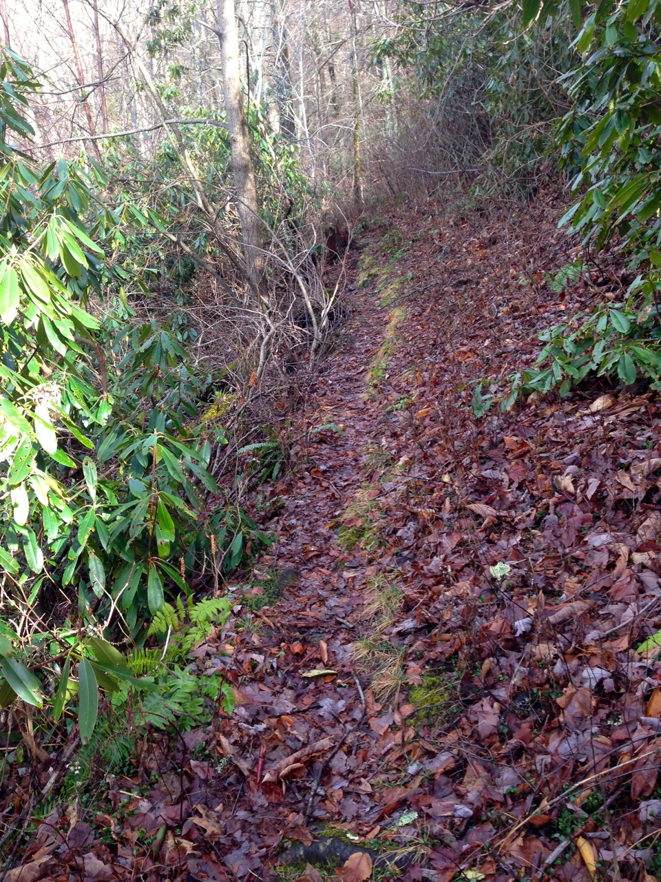
The trail gets much steeper, much narrower, and becomes very rooty & rocky. On top of that, it doesn't seem to be the object of much trail maintenance - there were a LOT of blow-downs across the trail making it more time-consuming and difficult to get through.
 |
| Upper section of Rough Creek trail is pretty rough... |
 |
| Lots of downed trees on the upper section of Rough Creek trail |
There are some nice views along this section, and once you get to the junction with Sugarlands Mountain trail you get a great view of Chimney Tops!
 |
| Rough Creek trail - Sugarland Mountain trail junction |
 |
| View of Chimney Tops from Sugarland Mountain trail |
 |
| Shelf fungus |
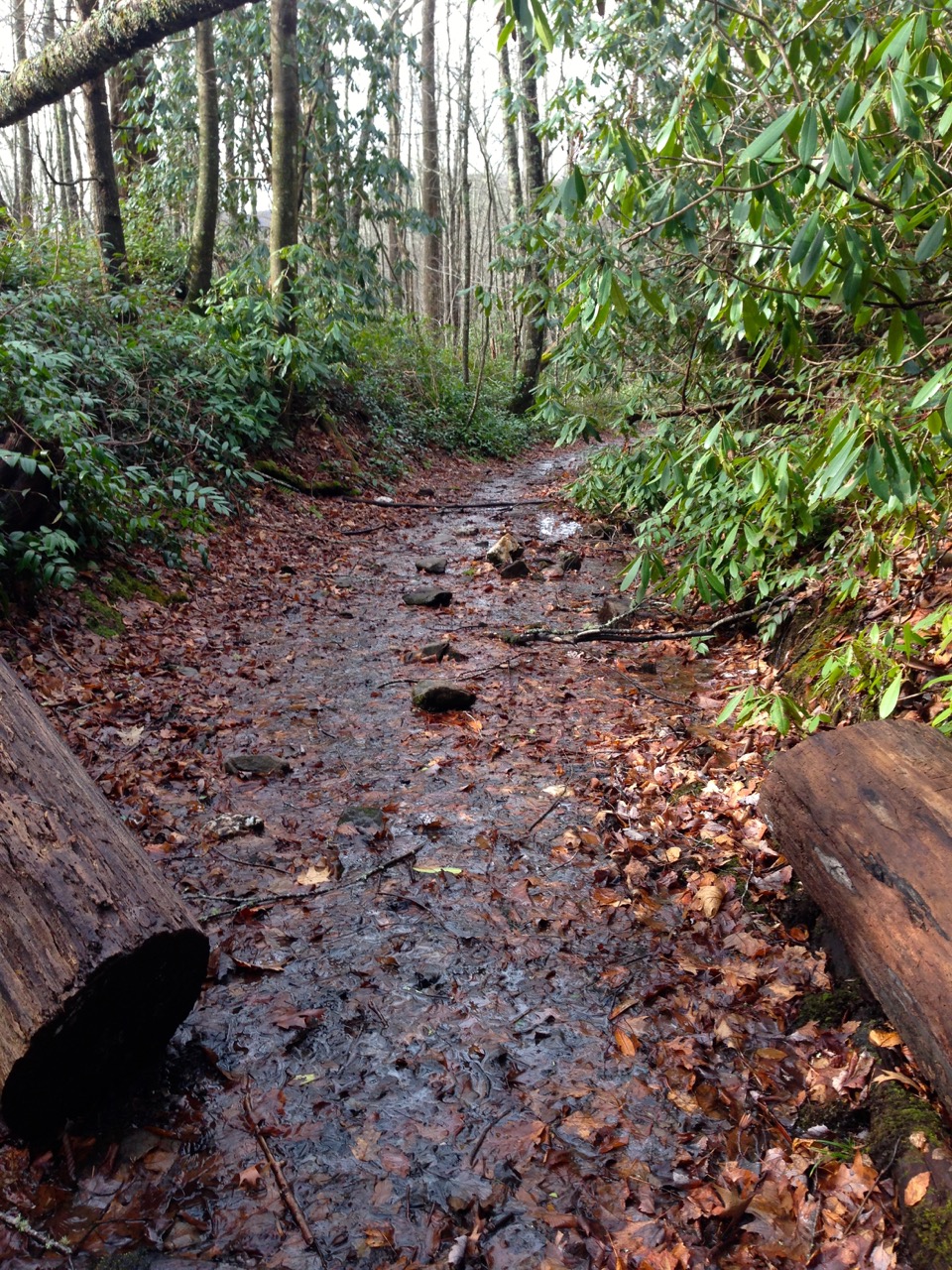 |
| The trail/creek |
It was a good way to spend my birthday, and nice to get one more trail checked off. Looking forward to some actual winter hiking early in the new year.
Til next time, happy hiking!


Thanks for sharing your story! Your blog is a great resource for camp site pictures and recommendations. I too am attempting to hike the whole park. Keep it up and thanks again!
ReplyDelete