New Miles Hiked: 20.0Total Miles Hiked: 33.7
7-9 June, 2021
Spent a few days over on the North Carolina side of the park at Deep Creek. Was hoping to finish up all of the trails in this section, but it didn't work out that way...
I should also note that this was a wet week to be out hiking. Rain was in the forecast each day. Monday I got drenched in a 3 hour solid downpour + an early evening rain. Tuesday I only had to deal with a late afternoon thunderstorm. Wednesday I didn't get rained on at all until late afternoon on the drive home.
 |
| Weather forecast for my hiking days... |
 |
What I intended to do:
Day 1 in Red, Day 2 in Green, Day 3 in Purple |
 |
What I actually did:
Day 1 in Red, Day 2 in Green, Day 3 in Purple
|
The Deep Creek area is a network of trails that I suspect poses a challenge for everyone trying to do all of the trails in the park. There are several North/South trails that follow ridges or creeks (Deep Creek, Sunkota Ridge, Indian Creek, Thomas Divide) and several East/West-ish connector trails (Stone Pile Gap, Loop, Deeplow Gap...). I had a hard time trying to figure out the most efficient way to get them all done. I finally arrived at the plan shown in map 1, which turned out to be overly ambitious. I was able to complete the route shown in map 2, which just means I need to go back to Deep Creek one more time to finish off the northern sections of the trails.
Monday, 7 June, 10.3 miles
 |
| Indian Creek - Stone Pile Gap trail junction |
 |
| Long log bridge over Indian Creek on Stone Pile Gap trail |
Stone Pile Gap trail is an East/West connector between Indian Creek and Thomas Divide trails. It's only 0.9 miles long, and leads UP about 500 feet in elevation gain from Indian Creek to Thomas Divide trail and the park boundary. There are old roads / trails that lead to this gap from outside the park, but large boulders and a broken down fence are there to dissuade intruders from entering the park here.
So this was a 0.9 mile hike UP and then 0.9 mile hike back down.
 |
| Stone Pile Gap trail |
 |
Stone Pile Gap trail
|
 |
Stone Pile Gap trail at its junction with Thomas Divide trail
|
 |
| Stone Pile Gap - Thomas Divide trail junction |
There were LOTs of neat wildflowers out and a few critters as well.
 |
| Fire Pink |
 |
| Whorled Yellow Loosestrife |
After completing the out-and-back of Stone Pile Gap trail I continued up the Indian Creek trail. Clearly this is an old road, and is still used by the NPS to access trails further up, and presumably also the many cemeteries in the area. It is wide and graveled and easy walking.
 |
| Indian Creek trail |
A little further up I reached the next trail junction: the Loop trail, with a brand new wooden sign. The Loop trail is an East/West connector between Indian Creek, Sunkota Ridge, and Deep Creek trails. This would be another up-down-up trail for me. I followed the Loop trail UP to Sunkota Ridge trail (0.5 miles & about 500 feet), then DOWN to Deep Creek trail (0.6 miles and 500 feet) and then back UP from Deep Creek trail to Sunkota Ridge (0.6 miles and 500 feet)...
Oh yeah. And this is when the torrential downpour began as well!
 |
| Sunkota Ridge trail |
 |
| Indian Pipe / Ghost Plant (a neat parasitic plant) |
 |
| View to the east of Thomas Divide from Sunkota Ridge trail |
 |
| Running Ground Cedar- a beautiful ground cover |
When I finally arrived at Martins Gap I was beat. I had not gone that far mileage-wise (about 9 miles), but the ups and downs and rain had me worn out. My original plan was that from here I would go DOWN Martins Gap trail to Deep Creek trail and back up (a 3 mile roundtrip hike with 1000 foot elevation loss and then gain) and then go down Martin Gap trail to backcountry campsite #46 (Estes Branch) for the night. But I just couldn't do the down & up of Martin Gap trail to Deep Creek, so I just turned southeast on Martins Gap trail 1.5 miles to campsite #46.
 |
| Sunkota Ridge - Martins Gap trail junction at Martins Gap |
 |
| Galax was beginning to flower along the banks of the trails |
 |
| Footbridge over Indian Creek |
 |
| Martins Gap - Indian Creek trail junction |
So this is a weird thing: most trails begin and end at trail crossings or road junctions. But the Martins Gap trail / Indian Creek trail junction happens right in the middle of the trail, at Estes Branch and the site of backcountry campsite #46. The trail just goes from being Martins Gap trail to Indian Creek trail. Very strange... I'm curious about the history of these trails and names.
 |
| Short side trail to backcountry campsite #46 Estes Branch |
I finally stumbled in to campsite #46 around 4 or 4:30 pm, pretty wet and tired. I'll be honest: it's not a great campsite. It's on a slope, so there are really no actually flat spots for tents. It was a wet week, so it was super muddy. There are lots of downed / cut-up logs so it feels a bit like an abandoned lumber yard. There is one fire pit, and a set of bear cables, so it's sufficient as a campsite. But not one I would purposely visit again.
I did camp chores, got set up, did dinner etc. Around 6 pm it started raining again. I sat under my tarp and read for a while, but eventually it started raining hard enough that I headed for my tent. Ended up sliding downhill and sleeping against the downhill side of my tent most of the night. Not the most restful of nights. Plus, I had mucked up my hiking plan so I was ruminating all night long about what I should do the next day.
Tuesday, 8 June, 4.4 miles
Decided not to beat myself up too much and take what I could do comfortably, instead of trying to make up what I had missed the day before. So from campsite #46 I turned south on Indian Creek trail back toward Deep Creek campground where I had a site reserved for the night.
 |
| Indian Creek - Deeplow Gap trail junction south of CS#46 |
 |
| The Deep Creek area is one of the few areas in the park that allows bicycles on the old roads/trails. The Indian Creek - Deeplow Gap trail junction is where this ends apparently. |
 |
| Indian Creek trail - an old gravel road |
 |
| Bridge over Indian Creek |
 |
| Wild Hydrangea |
 |
| Yarrow |
 |
| Indian Creek trail - an old road |
 |
| Side trail from Indian Creek trail to an old cemetery |
It was a very pleasant walk through the woods on the old gravel road that is Indian Creek trail. A mostly sunny morning. Met a few folks out on the trail when I got closer to Deep Creek campground. It seems to be a popular area for local walkers and trail runners. Amazingly, there was nobody else at Indian Creek falls when I arrived. It was beautiful in the early morning light! I sat and just watched the light play on the cascading water and snacked for a good 15 minutes or so.
 |
| Indian Creek Falls |
Deep Creek itself was also very picturesque in the morning and there weren't any tubers yet.
 |
| Fog rising over the cool waters of Deep Creek |
 |
| Tom Branch Falls on Deep Creek trail |
I passed Tom Branch falls on my way back down - it's just a few tenths of a mile up the trail from the campground.
I arrived at the campground late morning, and had the rest of the day stretching before me with no real plans. I went into town for a bite to eat - who knew that the restaurants in Bryson City are closed on Tuesdays??? Finally found some fast food, and then made my way back to the campground to check in to my site.
Had site #14 in the tents-only section of Deep Creek campground. These sites are WAY too close to each other for my liking. Zero privacy. My tent pad was probably 15 feet from the next tent pad and there's no vegetation or anything else between sites. It was nice to be close to the creek, but it's definitely not my favorite campground set-up.
I put up my wet tent to let it air out / dry off, and hung up a laundry line to dry my wet clothes. Eventually put up my rain tarp too, because it was forecast to rain that afternoon.
I did some walking around the Deep Creek campground and picnic area, hiked a bit up the Deep Creek trail to watch the tubers, and hiked the short trail out to see Juney Whank falls. Took a short nap, and did a lot of reading. It was a really relaxing afternoon, and felt great after feeling like Monday was kind of a failure. I'm really glad I decided to take it easy. Had a really good night's sleep and was excited for the next day of hiking.
 |
| Juney Whank falls |
 |
Deep Creek - sat for a while in the evening just watching the water roll by...
|
Wednesday, 9 June, 19.0 miles with just a daypackThe goal for Wednesday was to do the bottom half of the Thomas Divide trail and the eastern part of the Deeplow Gap trail out to its junction with the Mingus Creek trail. I had done Mingus Creek trail earlier this year, so this would make a connection and take care of a long chunk of trail. After how Monday went I was a little concerned that 19 miles would be too much, but doing it without the 25 pound backpack would make a big difference so I was hopeful I would make it ok. If not, I was mentally prepared to turn around when necessary.
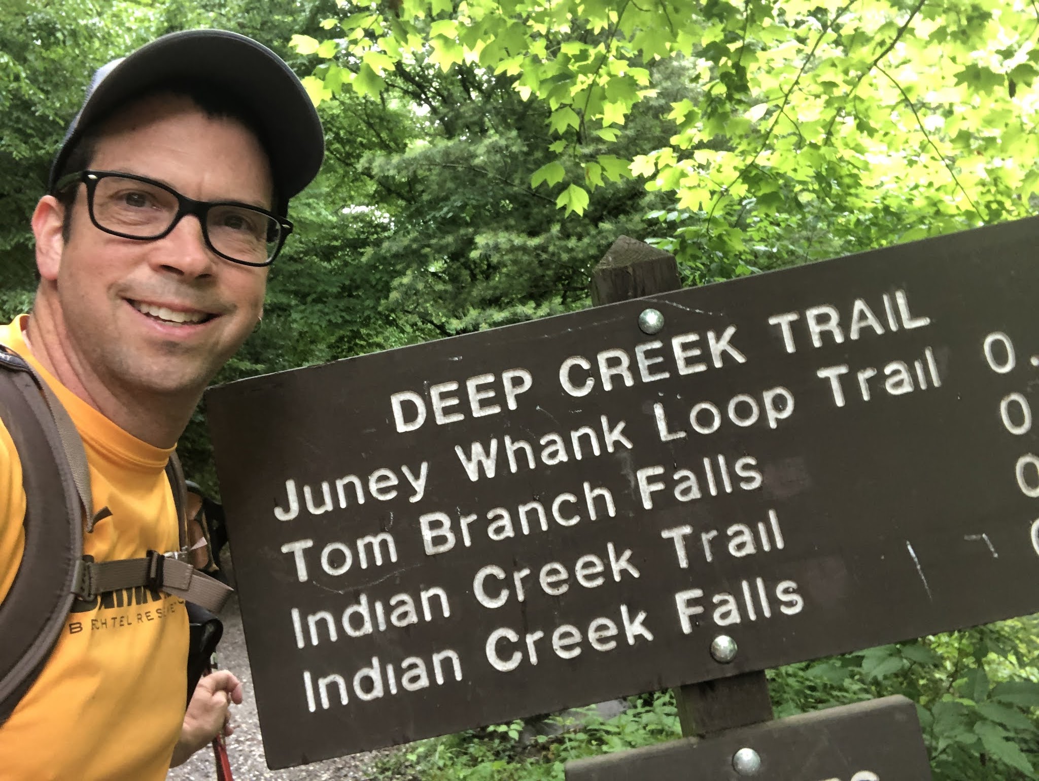
I got out of bed, had breakfast, and packed up pretty early (for me) and drove the short bit over to the Thomas Divide trailhead by 7:30 am. It was insanely humid and foggy when I started out so my shirt was pretty drenched right off the bat, and the trail was shrouded in fog.
 |
| Thomas Divide trailhead selfie |
 |
| Box Turtle on the Thomas Divide trail |
The bottom part of the Thomas Divide trail is also an old road, still graveled. So it's a pretty steady climb up from the trailhead, but the trail itself is easy walking.
 |
| Thomas Divide trail |
 |
| Thomas Divide trail |
 |
| Stone Pile Gap |
At Stone Pile Gap the Stone Pile Gap trail comes in to meet Thomas Divide trail from the left (west), and the park border is directly to the right (east). A dirt road from outside the park comes up to the gap, and large boulders and a (broken down) fence with NPS signs are at the border to discourage outside traffic.
 |
| 8:30 am and I'm already a sweaty mess... |
 |
As you get further up the Thomas Divide trail it gets more rutted.
Erosion has worn it down to the clay in parts. |
About 3.2 miles up the Thomas Divide trail you reach the junction with the Indian Creek Motor trail, which is simply an extension of the road that started out as the Thomas Divide trail. At this gap the Indian Creek Motor trail continues on north, while the Thomas Divide trail veers right into the woods and the immediately begins climbing UP the ridge toward Deeplow Gap.
 |
| Thomas Divide - Indian Creek Motor trail junction |
 |
| Thomas Divide trail sign: 2.4 miles to Deeplow Gap |
This section of the Thomas Divide trail is TOTALLY different from the prior 3.2 miles. The trail becomes a typical Smokies single-track trail the follows the ridge. Sometimes slightly off to the east or west side of the ridge top, it nevertheless follows the ridge up, up, up! This is really my kind of trail: traveling straight through the woods, with views off to the bordering ridges occasionally, sometimes riding the top of the ridge with drop-offs on either side. Plus, it was so humid that the smoky, foggy nature of the park really showed.
 |
| Heading up the Thomas Divide trail in the fog |
 |
Heading up the Thomas Divide trail in the fog
|
 |
| Bowman's Root |
 |
| Spiderwort |
 |
| Speckled Wood Lily |
 |
| Maple-leaved Viburnum |
 |
| Holy cow... There was more Bear Corn on the Thomas Divide trail than I have EVER seen on ANY other trail!!! |
 |
| Typical view of the Thomas Divide trail as it approaches Deeplow Gap |
I was still feeling pretty good when I reached Deeplow Gap and the junction of the Thomas Divide and Deeplow Gap trails. I had hiked about 5.6 miles and gained about 2000 feet of elevation. So I was excited to continue on the Deeplow Gap trail out toward Mingus Creek trail.
 |
| Thomas Divide - Deeplow Gap trail junction at Deeplow Gap |
From here the Deeplow Gap trail drops about 1000 feet of elevation over 1.5 miles as it approaches Cooper Creek at the park boundary, before gaining that 1000 feet back as it climbs to Mingus Creek trail.
The trail drops out from Deeplow Gap, and as it descends it becomes wetter, more overgrown, and muckier. Granted, it had been a pretty wet week, but things got really mucky along this section.
Luckily there was no rain while I was on the trail, although it started sprinkling almost as soon as I got back to the car.
 |
| Muddy legs. |
Overall it was a great 3 days in the park. Didn't get everything done that I had hoped, but really enjoyed what I did do. And now I'll just have to go back to Deep Creek one more time to finish off those trails. Shucks...
I have big plans for this summer and fall to get a bunch more done. Maybe even finish off this whole quest. We'll see how things go. Regardless, it's a labor of love and every minute on the trail is a moment of beauty, even those moments that seem to be sucking the life out of me at the time.
I hope you all are getting in lots of great hiking & camping trips this summer!
Til next time, happy hiking!


No comments:
Post a Comment